
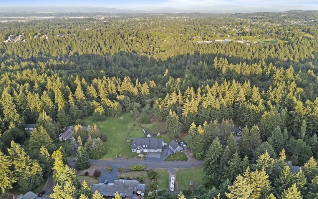
“Why Can’t You Just Launch the Drone?”
Over the past year and a half as a licensed FAA drone pilot, I’ve fielded a lot of great questions from real estate agents — and some surprised reactions too. Most people assume that if I show up with a drone, I can just launch it into the sky, fly where I want, and get the shots we need. Seems reasonable, right?
But here’s the truth: I don’t control the airspace. The FAA does.
That means, even though I’m the one holding the controller, the Federal Aviation Administration is telling me where and when I can fly. And they’ve made it very clear: anything with wings (even with propellers) that lifts off the ground — even just a foot or two — falls under their jurisdiction.
⏱️ The Timing Challenge
I get it — when you’re preparing to list a property, time matters. Agents want to go live as soon as possible, and that often means turning around photos overnight. That’s absolutely doable for ground photography. But when it comes to aerial shots, the process involves more than just charging a battery.
If the listing is in controlled airspace (and much of Salem is), I may need to submit a flight request to the FAA — and wait for approval before I can legally fly. That’s not always something that can be done in 24 hours.
✈️ What Is LAANC, Anyway?
To streamline operations, the FAA created LAANC (Low Altitude Authorization and Notification Capability). This tool helps licensed drone pilots:
- Check airspace restrictions in real time
- Get instant authorization in certain areas
- Submit requests for further coordination if needed
In many parts of Salem, I can get approval within minutes. But in other zones — especially closer to the airport — it may take up to 72 hours to get cleared for flight.
📌 The Legal Side (and Why It Matters)
If a drone pilot skips the FAA process and flies anyway, they risk losing their license. And without that license, they can’t legally operate a drone for commercial work — including real estate marketing.
That’s why timing and planning matter. If aerial photos are a key part of your listing strategy (and they should be), it’s always smart to:
- Let your media team know early
- Tell us where the property is located
- Let us check the airspace while you finalize the listing
🧭 The Bottom Line
If it were up to me, I’d launch the drone the moment I arrive and grab the highest, widest, most dramatic aerials possible. But safe, legal drone photography means working with the FAA, and that means we sometimes need to wait for their go-ahead.
The good news?
We’ve made the process simple for you. I’ve created a free 2-page guide to drone flight planning in Salem, with a visual FAA map, zone definitions, and tips for timing your shoot.