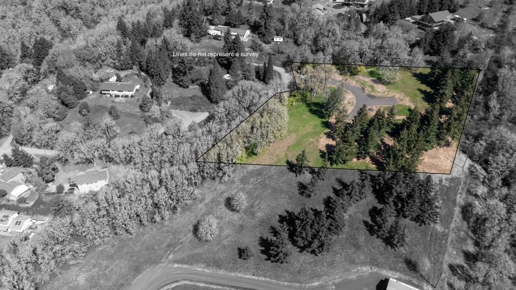
If you use aerial photos or video in your listings, Oregon’s new drone law affects you more than you might realize.
House Bill 3479, which became operative January 1, 2026, doesn’t just regulate drone pilots — it directly involves the clients who hire them, including real estate agents and brokerages HB3479.
Here’s what you need to know.
1. Agents Must Verify Drone Insurance — It’s Now the Law
Under HB 3479, commercial drone pilots must carry aviation-specific liability insurance, and anyone who hires them must verify that coverage before work begins.
That means:
Asking for proof of drone (UAS) insurance is no longer optional
A verbal “I’m insured” is not enough
Hiring an uninsured pilot could expose you or your brokerage to risk
This applies whether the pilot is shooting:
Listing photos
Video walkthroughs
Social media clips
Exterior-only aerials
If a pilot cannot provide documentation that explicitly covers aviation or unmanned aircraft, they are not compliant.
2. General Business Insurance Usually Isn’t Enough
Many people assume a drone pilot’s general liability policy covers aerial work. In most cases, it doesn’t.
Standard business insurance policies often include an aircraft exclusion, meaning drone flights are not covered unless the policy specifically lists UAS or aviation operations.
As an agent or brokerage, the safest approach is simple:
Ask for a current certificate of insurance that clearly states drone or aviation coverage.
Professional drone pilots should already expect this request.
default
3. This Law Raises Professional Standards — That’s Good for Agents
HB 3479 effectively raises the bar for who can legally operate drones for hire in Oregon.
The upside for real estate professionals:
Fewer uninsured or “weekend” operators
More consistent professionalism
Clearer accountability if something goes wrong
Stronger protection for your brand and clients
Working with insured, compliant pilots reduces risk and reinforces trust with sellers, buyers, and managing brokers.
4. What Agents Should Do Going Forward
To stay on the right side of the law:
Build insurance verification into your booking process
Keep a copy of the pilot’s certificate on file
Work with drone pilots who proactively provide documentation
Treat aerial media like any other licensed, insured service
At Salem Realty Media, we already carry aviation-specific drone insurance and are happy to provide documentation upon request. Our goal is to make compliance easy so you can focus on marketing your listings with confidence.
A Note on Umbrella Liability Policies and Drone Work
Since Oregon’s new drone law is still very new, insurance carriers are actively catching up.
Last week, I spoke directly with my State Farm insurance agent about how my umbrella liability policy applies to drone work. One of the first questions she asked was whether drone operations accounted for more than 51% of my overall business activity.
In my case, drone services represent a relatively small portion of my work—roughly 5–10%. Based on that, she indicated that my current umbrella liability policy does provide coverage for liability related to my drone work, even though State Farm does not yet have drone-specific (UAS) riders or finalized policy language tied to Oregon’s new law.
She also noted that:
The law is still new enough that many insurers are actively reviewing and updating their internal language
Formal drone-specific endorsements may come later
Coverage interpretations can vary based on how significant drone work is within a given business
What this means for agents and brokerages: Insurance coverage is not always “one size fits all.” Two drone pilots may have very different coverage depending on:
How much of their business involves drone operations
The structure of their policies
How their insurer currently interprets aviation exposure
The safest approach—for both agents and pilots—is transparency. Ask questions, request documentation, and work with professionals who are actively communicating with their insurance providers as the regulatory landscape evolves.
Bottom line: Oregon’s new drone law doesn’t make aerial media harder — it makes it more professional. Agents who understand their role in this process will be better protected and better positioned in a changing regulatory environment.
Over the past year and a half as a licensed FAA drone pilot, I’ve fielded a lot of great questions from real estate agents — and some surprised reactions too. Most people assume that if I show up with a drone, I can just launch it into the sky, fly where I want, and get the shots we need. Seems reasonable, right?
But here’s the truth: I don’t control the airspace. The FAA does.
That means, even though I’m the one holding the controller, the Federal Aviation Administration is telling me where and when I can fly. And they’ve made it very clear: anything with wings (even with propellers) that lifts off the ground — even just a foot or two — falls under their jurisdiction.
⏱️ The Timing Challenge
I get it — when you’re preparing to list a property, time matters. Agents want to go live as soon as possible, and that often means turning around photos overnight. That’s absolutely doable for ground photography. But when it comes to aerial shots, the process involves more than just charging a battery.
If the listing is in controlled airspace (and much of Salem is), I may need to submit a flight request to the FAA — and wait for approval before I can legally fly. That’s not always something that can be done in 24 hours.
✈️ What Is LAANC, Anyway?
To streamline operations, the FAA created LAANC (Low Altitude Authorization and Notification Capability). This tool helps licensed drone pilots:
Check airspace restrictions in real time
Get instant authorization in certain areas
Submit requests for further coordination if needed
In many parts of Salem, I can get approval within minutes. But in other zones — especially closer to the airport — it may take up to 72 hours to get cleared for flight.
📌 The Legal Side (and Why It Matters)
If a drone pilot skips the FAA process and flies anyway, they risk losing their license. And without that license, they can’t legally operate a drone for commercial work — including real estate marketing.
That’s why timing and planning matter. If aerial photos are a key part of your listing strategy (and they should be), it’s always smart to:
Let your media team know early
Tell us where the property is located
Let us check the airspace while you finalize the listing
🧭 The Bottom Line
If it were up to me, I’d launch the drone the moment I arrive and grab the highest, widest, most dramatic aerials possible. But safe, legal drone photography means working with the FAA, and that means we sometimes need to wait for their go-ahead.
The good news? We’ve made the process simple for you. I’ve created a free 2-page guide to drone flight planning in Salem, with a visual FAA map, zone definitions, and tips for timing your shoot.
A year ago today, May 1, I passed the FAA Part 107 license, giving me the legal ability to fly a drone for commercial purposes. Since then, I’ve put my DJI Mini 4 Pro into the air 175 times. I’ve done over thirty real estate or commercial projects, from simple photos of a house and the surrounding area, to a full-fledged video of a property for a construction company. For fun, education, and to get better at it, I shot video and stills of ten historic covered bridges near Salem and produced a short video.
As a lifelong photographer, I have to say, learning to fly a drone has opened up a brand new world of photography that I could only imagine. I follow several excellent drone videographers and photographers online, and hope to learn from them. As with any endeavor, the goal is to continue to improve and learn, to keep experimenting to see what the drone is capable of.
I’ve learned how to use the various mastershots that DJI offers, and incorporated them into Instagram videos. I’ve learned how to set up timelapse videos with the drone moving slowly from point to point. And there’s more to learn. I feel, even a full year in, and nearly 200 flights, that I’m just getting started.
So, for fun, here are some of my favorite drone shots from the past year.
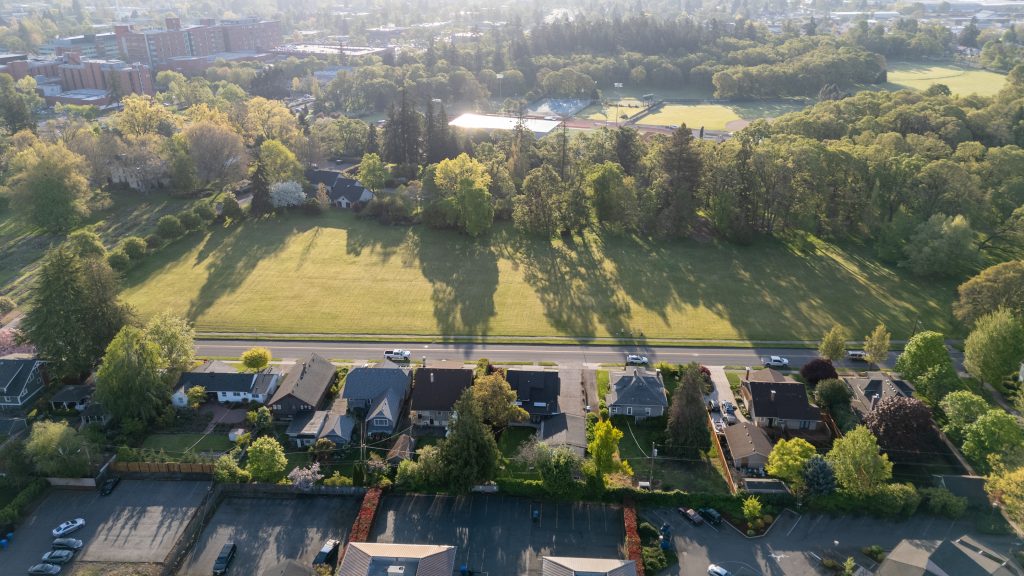
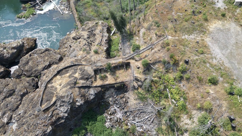
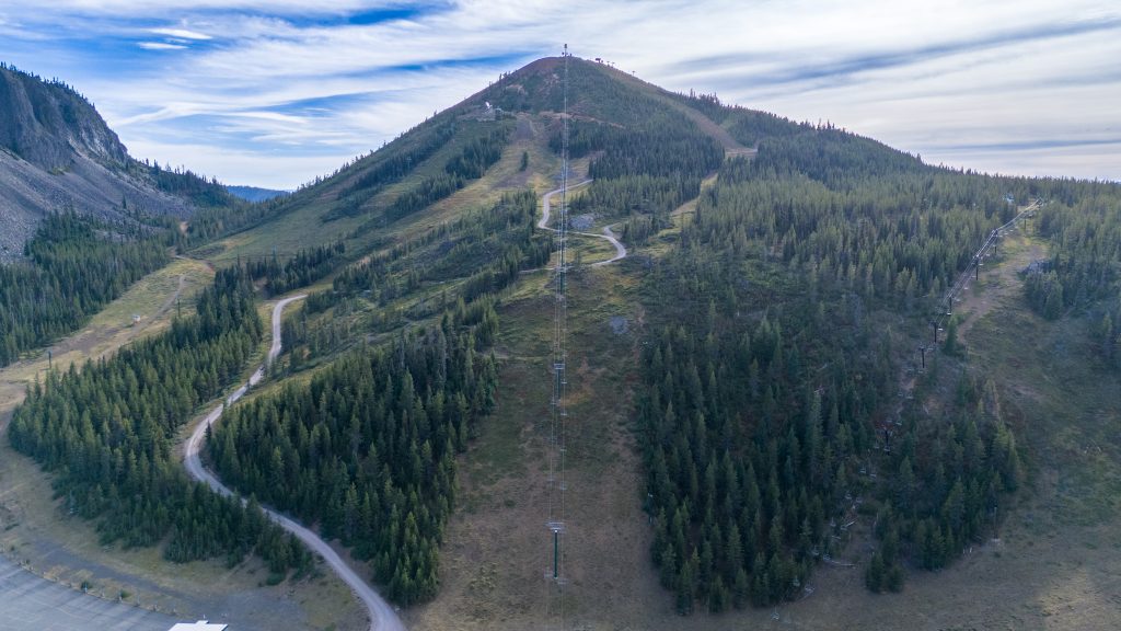
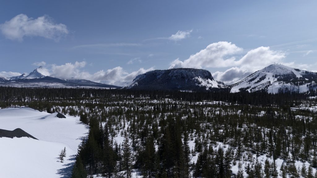
A recent shoot of a house on High Street across from Bush Park captured the rising sun.Showing a property and surrounding neighborhood near Cordon RoadThe devastation of 2020’s Labor Day fires are shown clearly in this overhead view of Niagara Park on Highway 22, just past Gates.A September view of Hoodoo ButteA flight in March captured Mt. Washington, Hayrick and Hoodoo Butte In August, I flew the drone over Santiam Lodge for the first time. It was interesting to see the place I grew up from the air.Last month, I flew over some property in Sheridan for a client to show the lots he has for sale.
I keep looking for opportunities to fly and photograph the ground below. If you have a project in mind, be sure to reach out!
I’ve done a handful of photoshoots for Shelby Looney of HomeStar Brokers and noticed that she worked a lot with communities that focus on the 55+ market. I asked if she’d be willing to answer a few questions about her work in the market segment.
What inspired you to focus on the 55+ demographic in your real estate career, and how has this focus shaped your approach to serving clients?
One of the first transactions of my career happened to be a listing in Salemtowne, which is a 55+ community in West Salem. I wanted to provide as much information about the community as possible to support my listing, and that included meeting quite a few of the residents. I learned that this particular demographic is very active, social and ready to enjoy their “golden years” with similar-minded individuals.
I consider myself to be protective by nature and that plays an important role in serving my clients of all ages. Often when working with the 55+ population, my clients are down-sizing, moving closer to family, living on a fixed income, etc. and requires me to be sympathetic to the emotions involved and act as an advocate on their behalf.
2. Can you share what makes developments like Salemtowne particularly appealing to 55+ buyers, and what features they tend to prioritize when choosing a home?
Developments such as Salemtowne provide a sense of connection and safety for the 55+ population different than a typical subdivision. Many people are considering retirement, if not already retired, around the age of 55 and no longer need a large, family home where schools or proximity to jobs are important. By offering smaller, single-level homes, often surrounding a community center or golf-course, these unique developments promote homeowners to get involved in social activities and events with others of the same age to encourage healthy living, both mentally and physically, and at a more relaxed pace.
3. What unique challenges or opportunities have you encountered while helping clients transition to 55+ communities in the mid-Willamette Valley?
A common misconception about 55+ communities is that they are for “old people” and that is just not the case. Often times after touring these developments, buyers find that they are going to be more active than ever before and with more opportunities to connect with people that have common interests. I see almost an immediate excitement for my clients to find the perfect home and begin a new chapter in their lives once they see how much fun they are going to have.
Making the decision to buy a home in a 55+ development can also bring challenges. For instance, the supply or inventory may not match the demand or availability and these are not the types of communities that developers are building in our current market. That can stall the process for a buyer when they are considering a home purchase within a 55+ community. When homes are listed for sale, they are often outdated and buyers have to consider the time and expense needed to get them updated and move-in ready.
4. How has your experience in real estate in the mid-Willamette Valley helped you better understand the needs of this demographic and the local housing market?
Understanding the needs of the 55+ client is not limited to experience in any particular area; however, I am from the mid-Willamette Valley, more specifically Salem, and that has given me an advantage when introducing communities available to this demographic. I have found that most of my buyers have already chosen which development they want to pursue because of existing relationships with others that are living within them. The features and amenities speak for themselves, and therefore I do not have to convince buyers but rather obtain knowledge about each specific community in order to best fit their needs. 55+ communities can be immune to the highs and lows of traditional housing markets and this is largely due to supply and demand. Also, it isn’t uncommon for buyers to pay cash when making a home purchase at this stage of life, so the current interest rates are less of a factor.
5. What advice would you give to someone considering buying a home in a 55+ community, and how do you help guide the clients through that decision?
My advice, first and foremost, is spend some time in the community. Sign up for the newsletter, go for walks and meet the people living within it, ask what they love about where they live and make connections. Consider your timeline, this process can take longer than expected when looking for the home or community that meets all criteria. Rely on me to educate and guide you through the process to better ensure that when the right home becomes available, you are ready. As with all home purchases, there is an emotional component and it can feel even more significant when making this transition to live in a 55+ community. This is a perfect opportunity to evaluate what is most important for your life in this chapter.
I have found immense joy and gratitude working with clients in the 55+ demographic. I take pride in my role as their agent and will eagerly work until they are happy and settled in their new environment.
Thanks to Shelby for sharing her thoughts on this important piece of the real estate market. Feel free to reach out to her here.
Yes, this is a blog devoted to real estate photography and videography. But sometimes ya gotta skirt around the edges a bit, and I wanted to show off this fun video I finished this month.
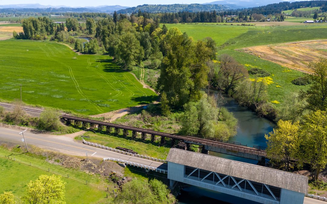
And this is decidedly NOT a real estate video unless you wanna buy a bridge! But, since passing the FAA Part 107 drone license in May, I’ve been practicing and learning its capabilities (and mine with it). On a bright spring day, I had my drone and came across the Hannah Covered Bridge. I’d been visiting my mother in Gates and kept my eyes open for opportunities to fly. When I stopped at the bridge, I looked around and decided it was worth it, so I took the drone up a few hundred feet and snapped a dozen or so photos.
There are several covered bridges in the area, many near Scio, so it wasn’t long before I found myself at another bridge with my drone in the air. After about the third bridge, I realized that just taking photos of the bridges was one thing, but what about video? I hadn’t done much aerial video, but this could be a starting point. Over the summer and fall, the idea coalesced into a full-blown concept: make a brief video about the ten or so covered bridges within an hour of Salem.
Grabbing the idea by the horns, I revisited about five bridges to get video shots that I could assemble into a fuller video. I completed the filming in November and started to assemble the footage. Add in a little research, write a script, create some titles and silly but fun maps with what looks like a drunken driver in a small car, and the video was complete.